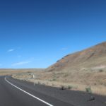
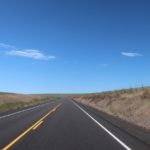
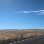
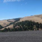
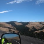
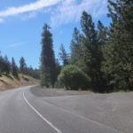
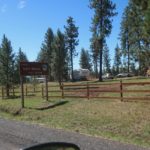
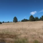
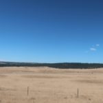
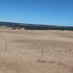
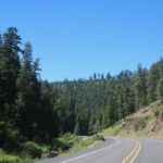
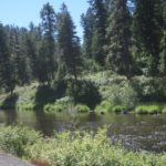
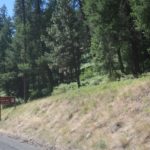
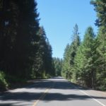
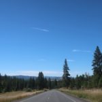
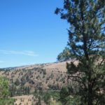
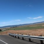
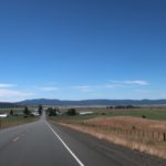
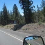
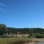
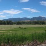
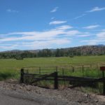
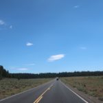
Our route today, US highway 395, didn’t look that interesting on the paper map but we were soon treated to an excellent ride through the forest and high mountain meadows. We passed through the Battle Mountain and Ukiah-Dale Scenic Corridors. The road just kept going and going with lots of twisties to keep it interesting. What a cool hidden gem! That route should have black dots next to it on the AAA map!
Diane found the road more challenging (tight twisties) as she also encountered a deer crossing in front of her but she was fine taking her time while I left her in the dust. 😉 She said she was just starting to gain confidence but leaving the town of John Day the speed limit sign showed 55mph followed immediately by marked 30mph curves where her tires caught on some tar snakes causing some wobbles that made her leary the rest of the way.
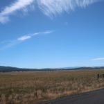
All in all, a fun and mellow riding day for me, a bit more stressful for Diane. We found a campground about 20 miles south of Burns on highway 205 the Oregon High Desert Scenic Byway, right at the start of the Malheur National Wildlife Refugee. Yes, that Malheur. Place was in the middle of nowhere and thus quiet with only the occasional car passing by. Internet didn’t work for me. The quiet was welcome though and I got a good night of sleep.
Todays route.
- Leaving Pendleton, OR
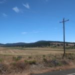
- Forested hills in the background
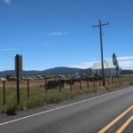
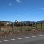
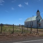
- car ‘storage’ next to a church
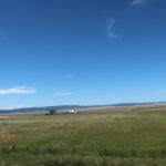
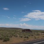
- South of Burns, OR on highway 205
