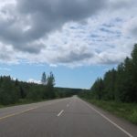
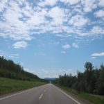
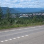
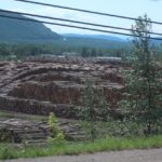
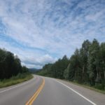
Before leaving the campsite in Little Fort I called the Suzuki dealer in Kamloops and asked about an oil change. To change the oil on my motorcycle takes maybe 15 minutes if you go slow. It involves removing one bolt, draining 2.5 quarts of oil, reinstalling the bolt and adding new oil. It’s super easy and fast. The dealer quoted me 45 minutes of shop time at $107CAD an hour plus parts. He said it would come to about $200 CAD … but they could fit me in. Hell, at that profit margin I’d make time as well. I nearly passed out when he told me the price.
Category: motorcycles
Retracing our steps to Little Fort, BC
We are coming back down highway 97 heading south towards Kamloops. The reason we picked Kamloops is that my motorcycle needs an oil change and Kamloops has a Suzuki dealership. More on that later.
Working our way back south, Prince George BC
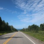
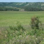
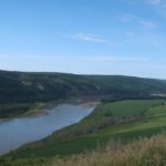
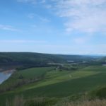
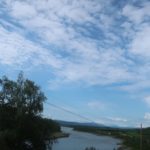
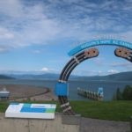
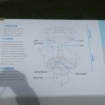
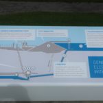
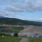
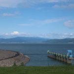
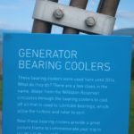
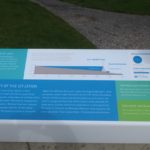
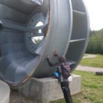
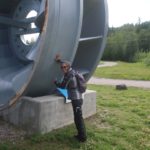
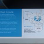
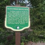
The day starts off sunny as we backtrack a little to get to the highway 29 turnoff north of town. Another scenic ride as the road follows the Peace river as it meanders through the farm country. We make a short side trip to the W.A.C. Bennett Dam though the dam road itself is closed. Impressive nonetheless.
We rejoin highway 97 south where traffic picks up and the cloud density increases. The terrain changes as well, getting more mountainous. As we ride along 97 we pass small outposts of civilization but they are usually nothing more than a gas station. It all still looks and feels remote. The clouds open up again on us around McLeod Lake for about 15 minutes.
Campground choices are limited as we get closer to Prince George. The two that we knew of are right off the highway which has now become very busy and thus noisy. Neither looks appealing plus the weather isn’t that great and the thought of battling mosquitoes makes the decision to hotel it pretty easy. We end up at the Riviera City Centre Inn in downtown. It doesn’t compare to the Best Western Plus we were just at but it’ll have to do. At least the wi-fi is fast, the shower is hot and there are no mosquitoes.
Todays route.
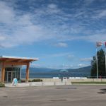
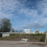
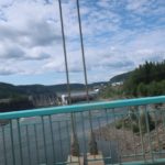
- W.A.C. Bennett Dam visitor center
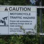
- Important safety tip…hidden in the bushes. Dam road was closed though due to resurfacing
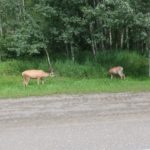
- These guys were grazing as we are leaving Hudson Hope
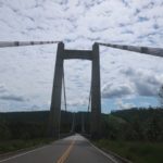
- Neat suspension bridge. Unexpected.
- Approaching Chetwynd, BC
- Rain clouds getting thicker 🙁
More ALCAN to Fort St. John
Amazing how dependent we’ve become on the internet. We always feel crippled with our planning when we can’t check the weather app for where we’re headed or Google maps to verify distances. Our first stop was to get to Ft. Nelson to get online to decide how far we could get today as well as restock groceries.
The ride to Ft. Nelson was short coming out of the mountains back into gently rolling hills terrain. After rains the night before, the weather was crisp but the sun was out and, for once, we didn’t wear our heated gear but rather an extra layer under our jackets. Temps hovered between 65ºF – 73ºF and we both removed our extra layer when we got to Ft. Nelson. While I went into the Sav-on grocery store to restock Diane made some calls to hotels in Fort St. John. We originally picked Pink Mountain as a potential stopping point and camp spot as we weren’t sure if we’d make it all the way to Fort St. John. Just to be on the safe side Diane inquired about rooms at various hotels, all good, rooms were available.
On the ALCAN Highway heading back south
The famous ALCAN and we are riding it. We wouldn’t make it all the way to Ft. Nelson so found a lodge/campground about 100km east of Ft. Nelson. However, before leaving Watson Lake we had to check out the Signpost Forest. The forest reflects the international attraction the Yukon and Alaska hold with travelers coming long distances to see this part of the world.
Alaska proper will have to wait
:-o. What?!
Should have listened. Throughout the planning process Diane mentioned she wasn’t ready to ride Alaska. Her two bug-a-boos were road construction (gravel) and bears. I put it off as jitters, that she would get passed that once we started riding. The opposite happened. The closer we got to wild country the more vocal they became.
Into the Yukon Territory to Watson Lake, YT
Damn, it’s cold this morning. The readout from my motorcycle dashboard says 4C (39F). My fingers turn to icicles as I get coffee and breakfast ready. Cannot feel my little toes and my nose drips like a leaky faucet – sorry for the unpleasant picture. I must have some kind of genetic defect because cold just goes right through me. Oh well. We did our sun worship routine once it cleared the pine trees ;-).
Continue reading Into the Yukon Territory to Watson Lake, YT
Up the Cassiar Highway to Dease Lake, BC
Lots of dew over night made for a wet tent to pack up. Given the chilly temperature in the morning other campers were probably wondering, “what are those two guys doing, holding their coffee/tea mugs and standing like statues in the sun?” – trying to warm up since the campsites are usually shaded in the AM and ours was no exception.
Blue skies and sun to Stewart, BC
We were greeted to blue skies and sunshine when leaving Smithers this morning. Absolutely beautiful riding weather though heated gear was still called for. We continued on Highway 16 as the road wound it’s way along a river to Kitwanga where we took highway 37, also know as the Cassiar Highway, north.
Cold and wet ride to Smithers, BC
We knew what lay ahead for the day, more intermittent rain with high winds thrown in for good measure :-). Navigation would be easy today, get on highway 16, also know as the Yellowhead Highway, head west and get off in Smithers some 370 km later. Even I can manage that without the GPS.
